
Spearheaded by the Singapore Land Authority (SLA) and Maritime and Port Authority of Singapore (MPA), the newly launched Singapore Geospatial Master Plan (2024 – 2033) will enable geospatial-enabled innovations to benefit more segments of society, while addressing the complex challenges Singapore faces as an island-nation.
Building on the first masterplan, this second iteration integrates land and marine spatial data development and charts the trajectory of national geospatial development for the next decade across terrestrial and maritime domains, towards the vision of Singapore as “A Leading Global Geospatial Hub”.
At the Geo Connect Asia 2024 opening ceremony, SLA and MPA unveiled several new strategic partnerships and key initiatives to expand the mainstream use of geospatial technology to benefit more citizens, enhance quality of lives and strengthen Singapore’s geospatial capabilities. Please refer to Annex A for the welcome remarks by Mr Yeoh Oon Jin, Chairman of SLA.
The new partnerships and initiatives by SLA and MPA were announced by Mr Edwin Tong, Minister for Culture, Community and Youth, and Second Minister for Law, who was the Guest-of-Honour at the event.
Pioneering Preventive Healthcare for a Healthier Future
Mainstreaming geospatial can bring tangible benefits into our everyday lives, particularly in sectors such as social and healthcare.
Through close collaborations with key partners in these sectors, geospatial tools and solutions can support national programmes such as HealthierSG and the Enabling Master Plan 2030.
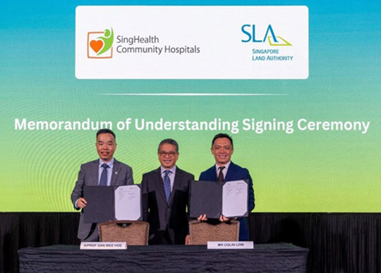
Mr Tong witnessed the signing ceremonies for two SLA collaborations – with SingHealth Community Hospitals (SCH) to co-develop a living asset map portal tailored for social prescribing, and with the Ministry of Health Office for Healthcare Transformation (MOHT) to expand the Digital Local Connect (DLC) initiative to benefit more neighbourhoods.
Barrier-Free Access Routing Function to Promote Inclusivity
Through collaborations with partners like SG Enable, SLA is making strides in mapping pathways towards a more inclusive society.
SLA launched the barrier-free access routing function on OneMap, as an additional mode of wayfinding, in support of the Enabling Master Plan 2030. This routing function will be initially available for selected areas and will be expanded over time.
Leveraging Synergies Between Geospatial and Generative AI
Following the successful launch of the SLA OneMap GPT Challenge, supported by IMDA, in October 2023 to explore ways to incorporate AI technologies for innovative solutions on OneMap, two winning teams revealed their prototypes at the opening event.
They were chosen out of 41 entries, from companies, academia and individual participants.
The prototypes demonstrate the potential of integrating geospatial and generative AI technologies to develop interactive and smart solutions to offer users greater convenience and personalised map-based services.
As one of the first in the world, and the first of its kind in Singapore, the prototypes showcase how the synergistic combination of artificial intelligence, location information and map visualisation can open limitless potential across industries.
Using Marine Data to support Climate Change Protection and Adaptation Planning
GeoSpace-Sea is an initiative by MPA to integrate and provide access to authoritative and consolidated marine and coastal geospatial data.
The Centre for Climate Research Singapore, operating under the National Environment Agency (NEA), utilises tidal data from GeoSpace-Sea to analyse rising sea levels in Singapore.
This includes an assessment of extreme sea levels as part of the National Sea Level Programme, contributing to the production of accurate sea level projections to support climate change adaptation plans.
GeoSpace-Sea data is also used in the development of PUB’s Coastal-Inland Flood Model1 and analyses on the adequacy of coastal protection measures.
1 PUB’s Coastal-Inland Flood Model, first announced in 2021, is being developed with capabilities to simulate coastal and inland flooding scenarios in Singapore by considering factors such as intense rainfall and rising sea levels.
Driving Geospatial Innovations Across Maritime Domains
MPA is building capabilities across various domains to establish comprehensive situational awareness of its operating environment to support operations planning and incident management.
In the subsea domain, MPA is collaborating with BeeX, a Singapore-based deep-tech engineering company, to map and provide a comprehensive view of the subsea environment.
With the increasing use of underwater drones, the ability to better visualise the subsea environment will enable safe navigation and active management of underwater drone operations, such as seabed infrastructure and underwater inspections.
In the sea domain, MPA’s Active Anchorage Management System will utilise artificial intelligence and data from GeoSpace-Sea to allocate and optimise the use of limited anchorage space for vessel anchoring.
This is a capability that will be increasingly important to ensure safety as the volume of vessels arriving at the Port of Singapore grows.


